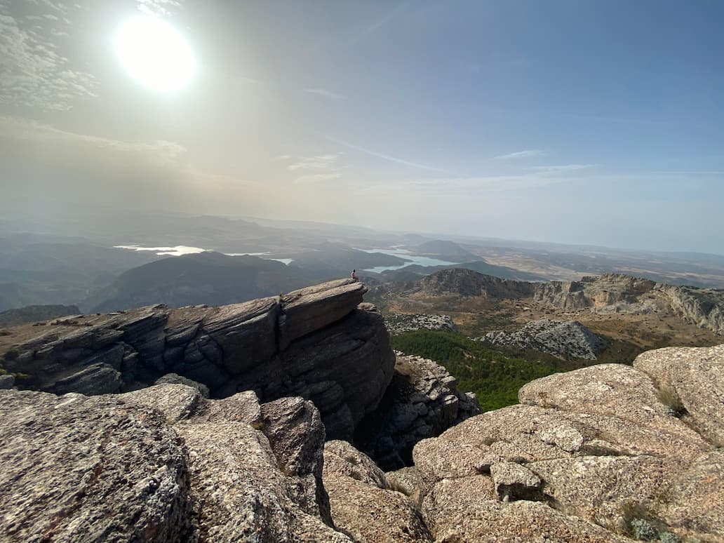
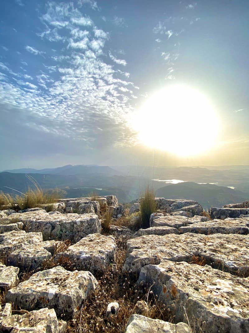
Discover the 5 best hiking routes in El Chorro
El Chorro is considered by many to be one of the most well-rounded and spectacular destinations in Andalusia, thanks to its wide variety of adventure sports and excursions, as well as its natural beauty, which attracts photography enthusiasts and lovers of scenic landscapes. But do you know the best hiking trails in El Chorro?


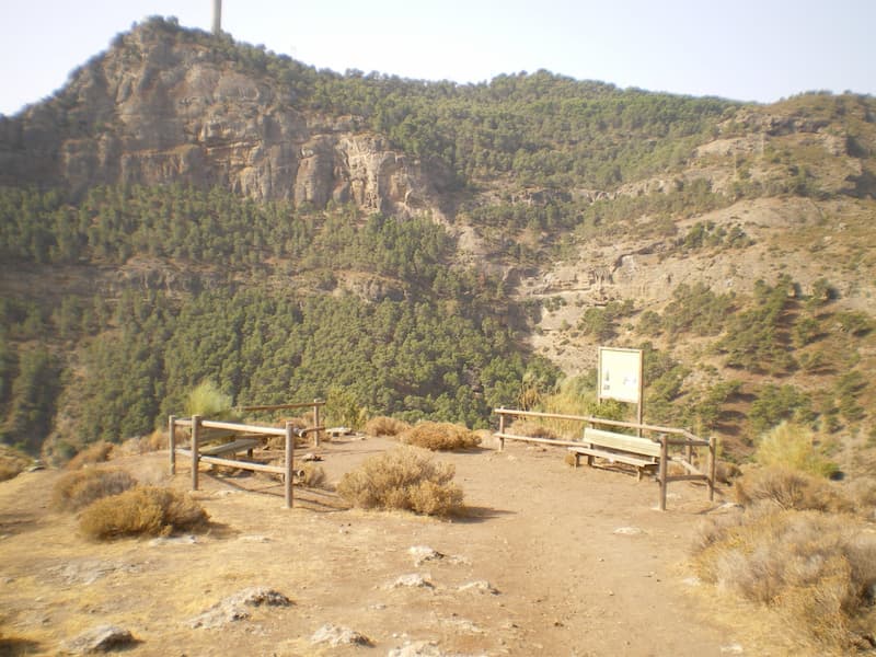
Pico Huma Hiking Trail (El Chorro)
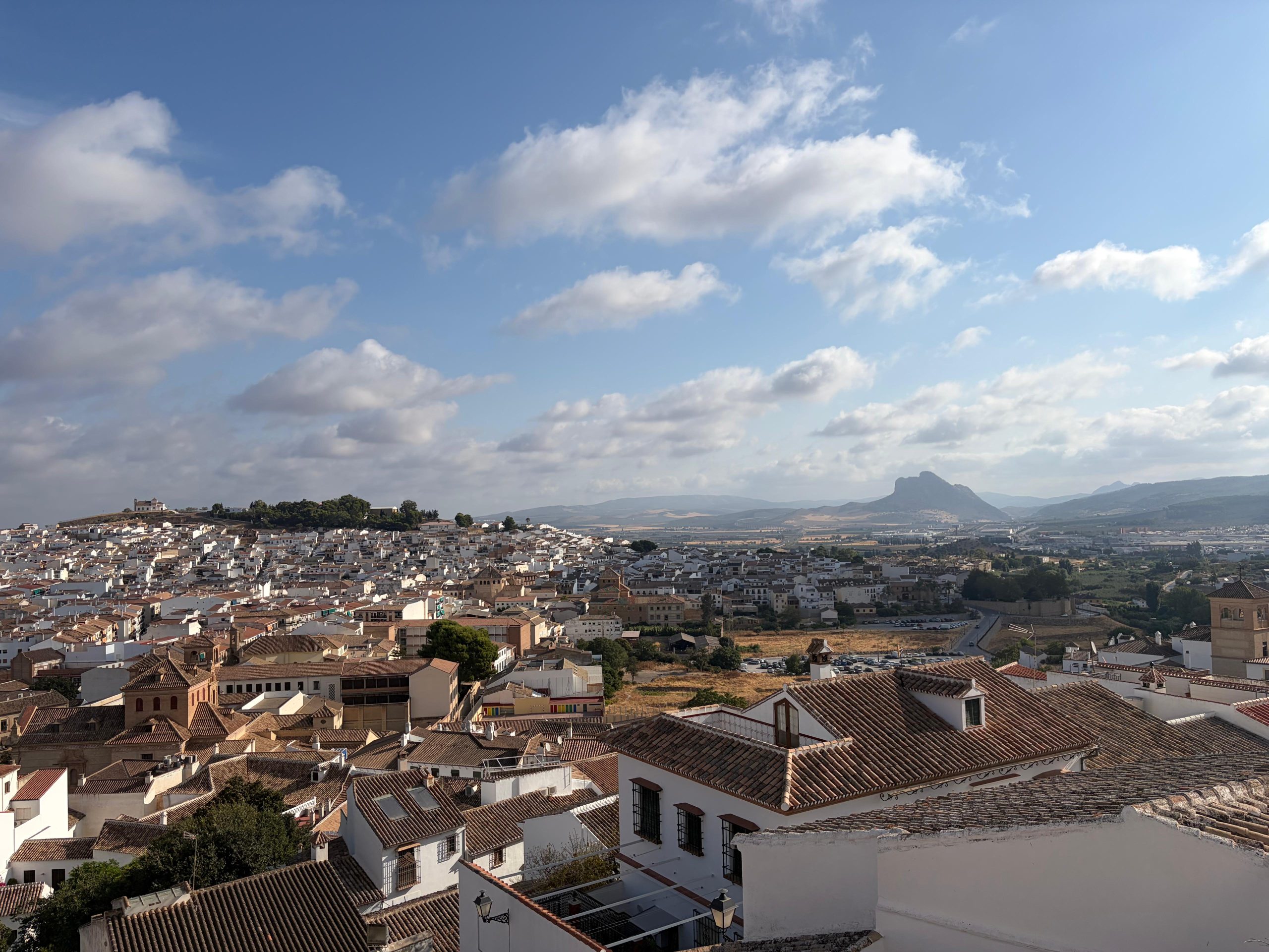
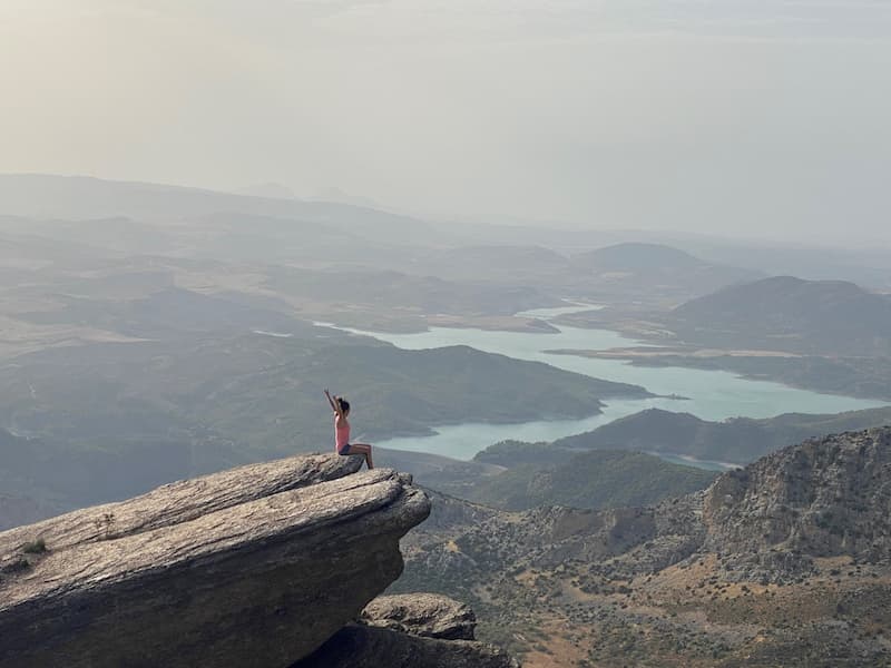
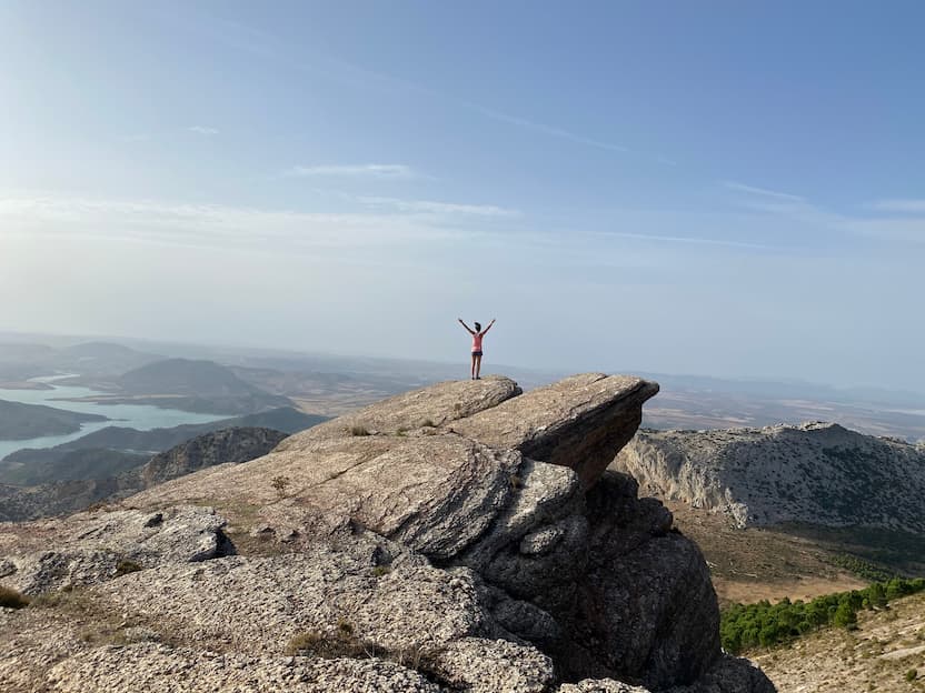
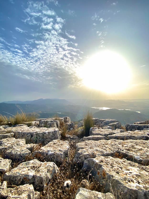
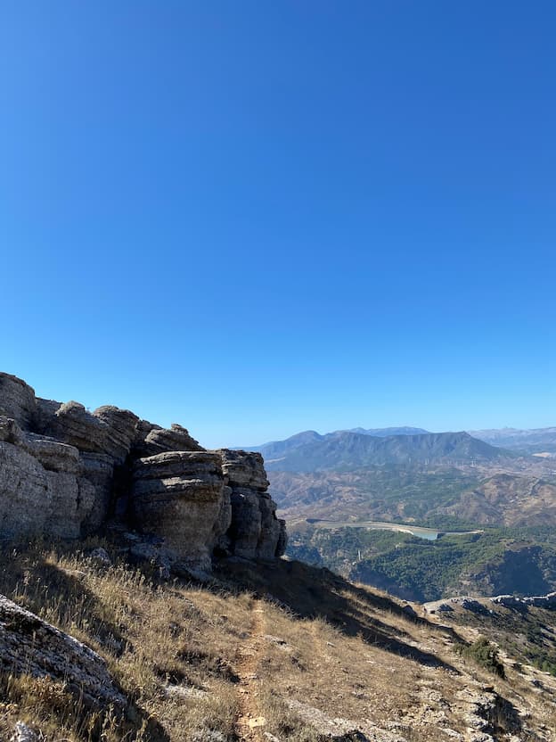
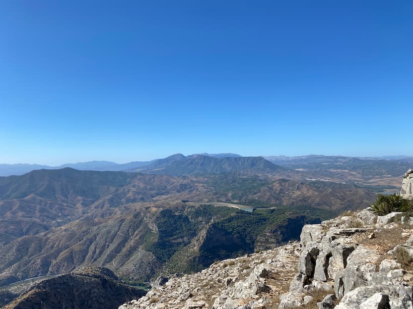
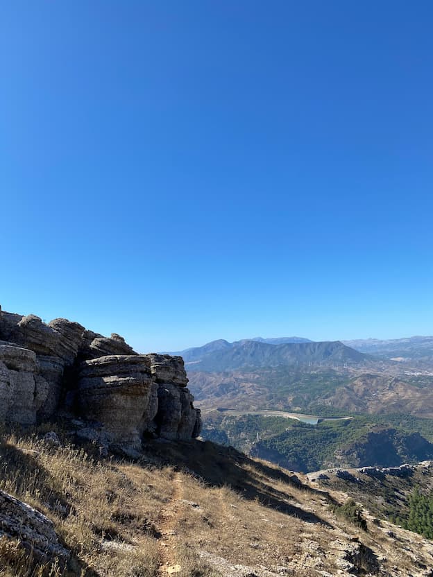
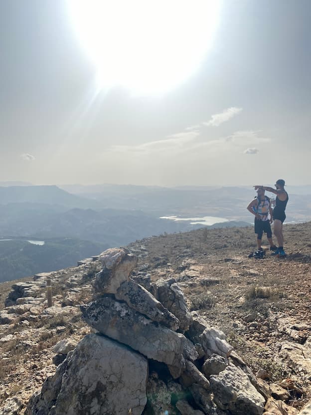
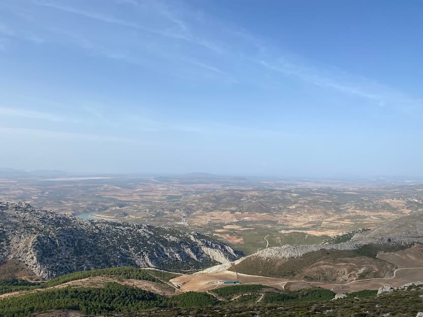
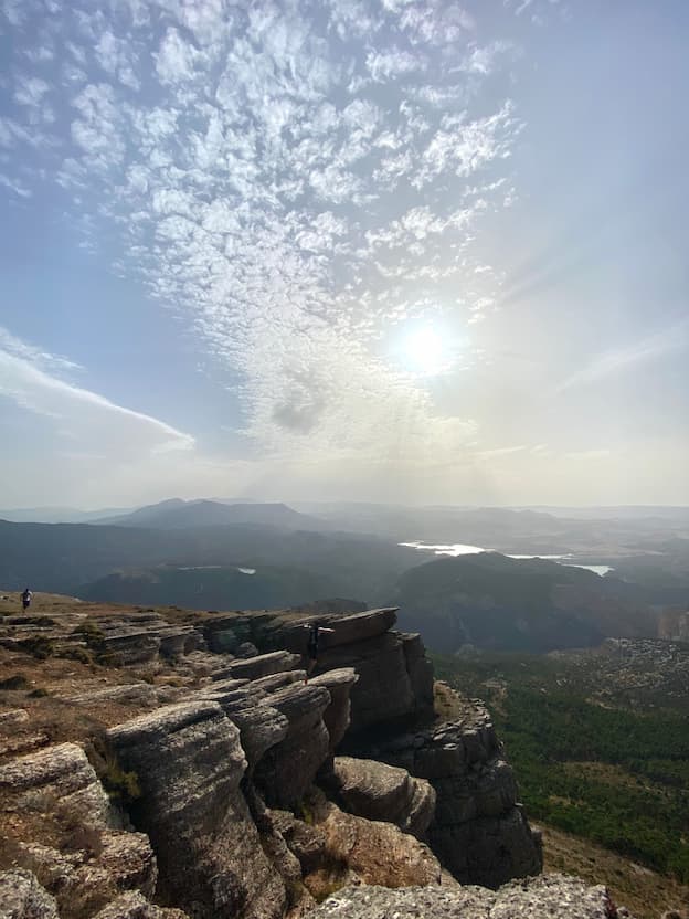
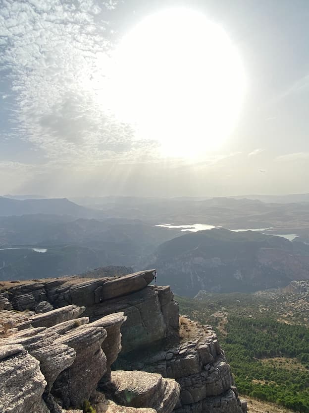
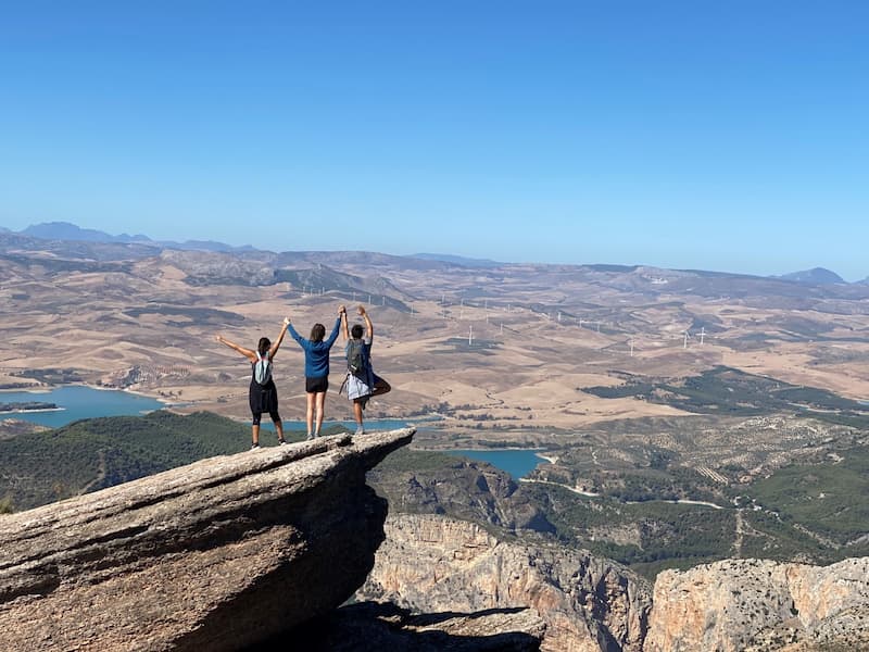
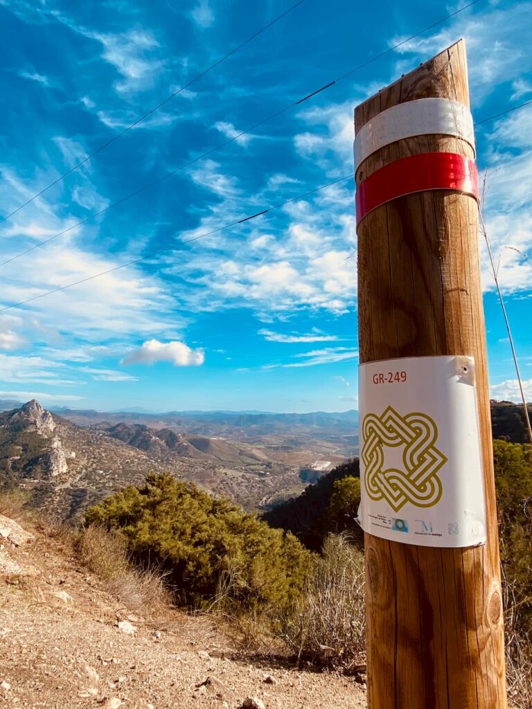
The best hiking trail in El Chorro is the Pico Huma trail, also known as “The Balcony of Andalusia” because from its summit you can see almost all of Andalusia. This hiking trail, the most spectacular in El Chorro, Málaga, is considered an ascent to the peak of the Sierra Huma, with a maximum elevation of 1,191 meters and a total length of 13.35 kilometers. At the summit, you can enjoy incredible views of Pico Capilla to the east, Camorro Alto, El Torcal, the Sierra de las Cabras, Peña Negra, and the rest of the peaks in the Arco Calizo Central range. Additionally, this trail is notable for the presence of numerous fossils, especially ammonites. It is recommended to hike this trail during the fall, winter, and spring seasons. See more
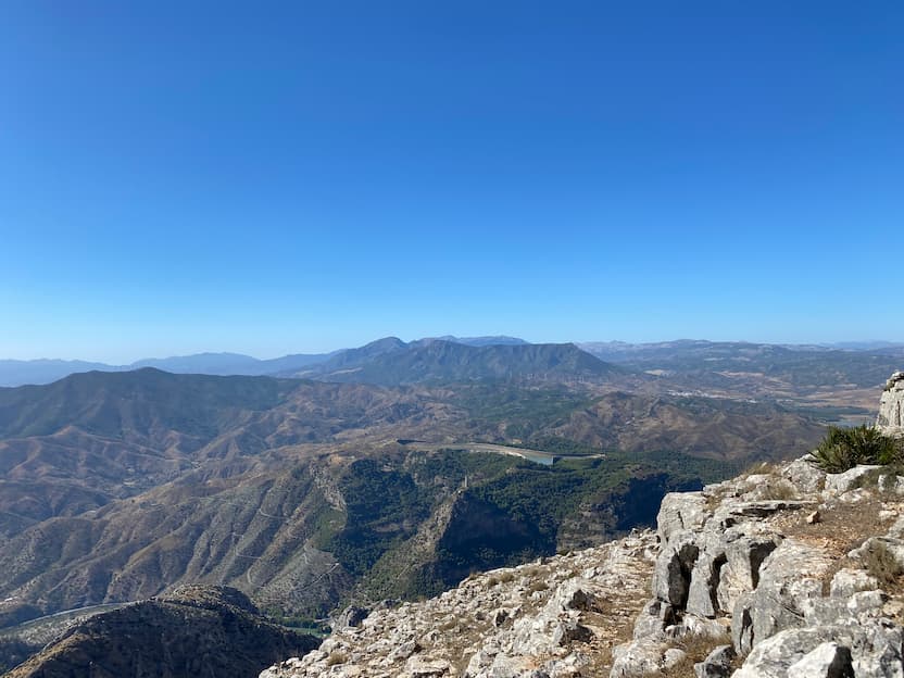

La Cañada del Lobo Hiking Trail (El Chorro)
The first of the two hiking routes in El Chorro we will explore is the Cañada del Lobo trail. We begin with a route suitable for everyone, whether you hike regularly or are just starting out, with plenty to impress along the way. The Cañada del Lobo route begins after crossing the bridge over the Tajo de la Encantada dam. Take the road to the right, and you will find the start of the trail before reaching the power station.
This circular route covers 12.5 kilometres and is relatively easy, making it suitable for beginner hikers, although you should pay attention to changes in elevation.
What do I need for the Cañada del Lobo hike?
Although this trail is suitable for beginners, there are no shops or facilities along the way, so bring water, food if needed, and suitable hiking footwear. Take particular care on the sections that follow the road. As with any hike, it is important to carry water, sugary snacks and footwear suitable for walking long distances.
Along the route, you can see fascinating structures, including homes carved into the rock where Mozarabs, Muladis and Arabs lived around the now vanished fortress during the 9th and 10th centuries.
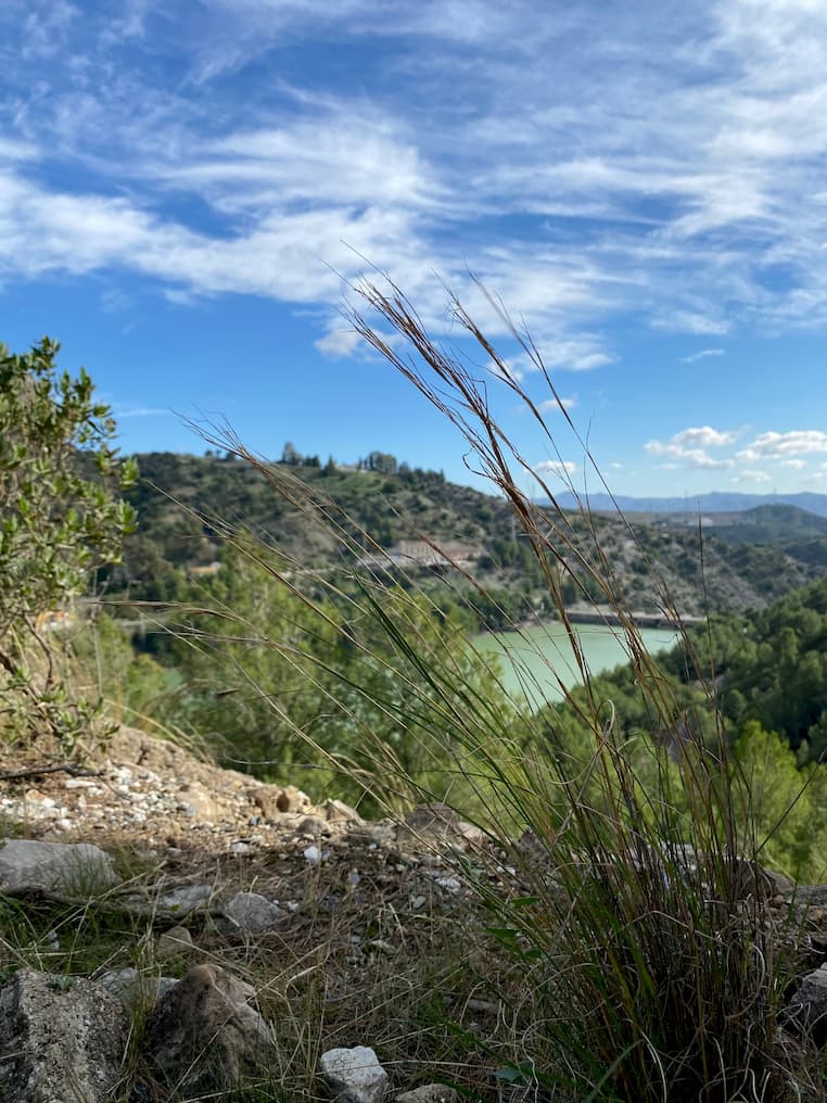
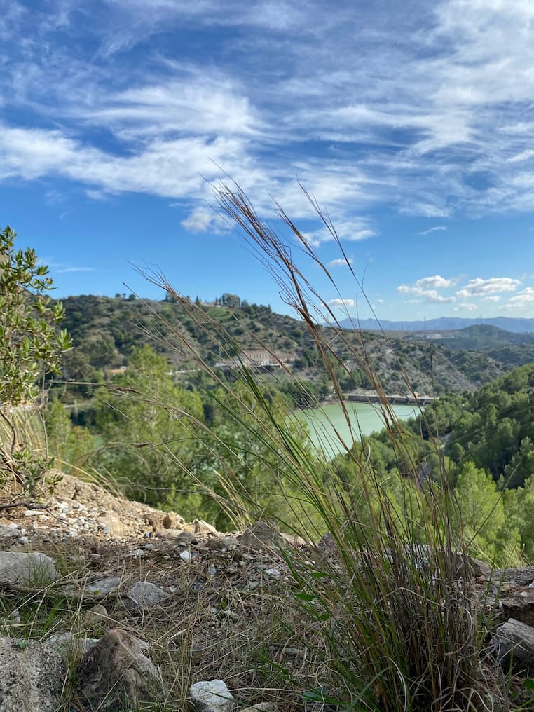
You can also enjoy wonderful views of Sierra Huma and the Guadalhorce Valley. Spring, autumn and winter are the recommended seasons for this hike.
Cañada del Lobo Hiking Route
Step-by-step directions for the Cañada del Lobo hiking route.
1. Starting point: Cañada del Lobo, El Chorro
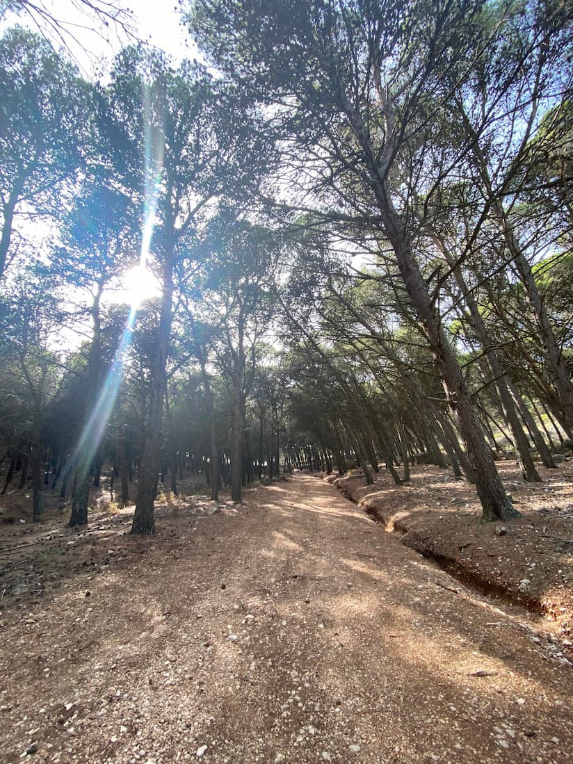
Set off from La Garganta Rural Tourism Complex towards the road to Álora. After crossing the bridge over the Tajo de la Encantada dam, take the road to the right towards the power station. Just over 300 metres along, before reaching the station, you will see the start of a trail on your left, with an information board and a sign pointing towards Ardales.
2. Junction with a chain barrier
Follow the trail uphill through the ravine known as Cañada del Lobo. At the top, when you reach the foot of the reservoir’s retaining wall on the Mesa de Villaverde plateau, turn right and follow the wall until you reach the paved track. Continue downhill to the right until you find a track branching off to the left with a chain barrier. This is the route to follow.
3. Road junction
Continue along the track, keeping beside the reservoir, until you reach the road. Before getting there, you will pass a feeding site for scavenging birds.
4. Bobastro rock-cut church
At this point, you can choose to visit the ruins of Bobastro’s Mozarabic church, adding an extra two kilometres to your walk. To get there, follow the road downhill to the right. After approximately one kilometre, you will find a wooden hut where you can get information and buy admission tickets. We recommend checking visiting hours beforehand. Afterwards, retrace your steps to the junction where the track meets the road, then continue towards the cave houses and viewpoint.
5. Access to the cave houses
From the track junction, follow the road uphill alongside the reservoir. After just over one kilometre, once you have passed a house on your left and rounded a couple of bends, you will see a concrete marker beside the road at the edge of the ravine. Here, you will find a passage leading down the slope.
6. Cave house
On this mountainside, you can see the remains of homes carved into the rock, steps, caves and hollows that once sheltered the Mozarabs, Muladis and Arabs who settled here around the now vanished fortress. This was the centre of Omar ben Hafsun’s rebellion against the Caliphate of Córdoba during the 9th and 10th centuries.
7. Sierra Huma viewpoint
After visiting the caves, retrace your steps to the road and continue to the Tajo de la Encantada viewpoint, where you can enjoy extraordinary views of Sierra Huma and the Guadalhorce Valley below.
8. Return
To return, follow the road back until you reach the house beside the reservoir. Here, take a trail downhill, keeping the house on your right, until you reach the road that runs alongside the reservoir. Continue in the same direction until you reach some pine trees, where you will take a trail descending beside the dam wall.
Follow the same trail you used on the way up, taking the GR7 signs towards the power station, then return to El Chorro.
How do I get to the venue?
The Garganta Hotel and Restaurant is situated in El Chorro (Álora), next to the southern entrance to the Caminito del Rey.