Sierra de las Nieves route
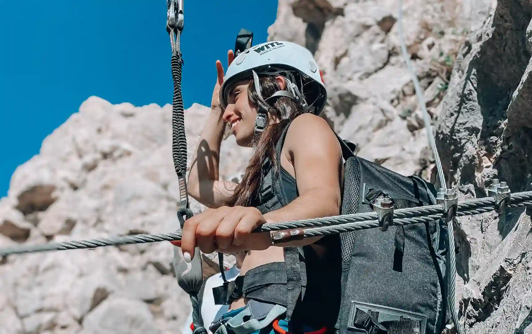
If you are lovers of outdoor exercise and like hiking, you have to do the different routes in the Sierra de las Nieves .
You will enjoy them a lot, among other things, because the Sierra de las Nieves has one of the most beautiful landscapes in Andalusia, and could be declared a National Park.
In 1989, it was declared a Natural Park and in 1995 it acquired the title of Biosphere Reserve by UNESCO. The Sierra de las Nieves has an area of 20,132 hectares.
Below, we make a list of the municipalities in the area of influence of this future national park; Alozaina, Benahavis, El Burgo, Casarabonela, Guaro, Igualeja, Easton, Monda, Ojen, Parauta, Ronda, Serrato, Tolox and Anvil.
If you are interested in any of these municipalities, there are some that are considered within the Route of the White Towns .
Sierra de las Nieves trail
If you are thinking about doing the Sierra de las Nieves trail soon, you are in the right place. In La Garganta, we talk to you about the different routes to take in the Sierra de las Nieves.
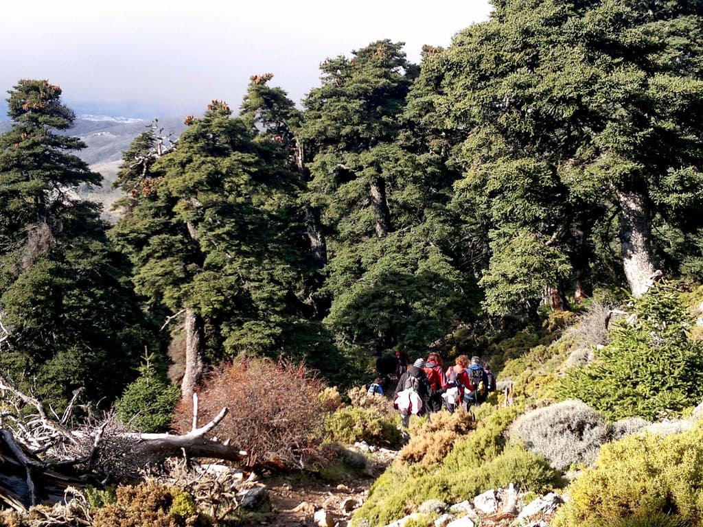
The Sierra de las Nieves includes numerous walking routes for all levels, from trails for walking quietly enjoying the landscape and taking a stroll, to trails with higher levels of walking difficulty.
Next, we talk about some of the itineraries that, due to their low difficulty and extraordinary beauty, are ideal for walking with the family. Now the decision will be yours, where to start?
Route from Benahavis
First of all, we will tell you about the route that goes from Benahavís to the Acequia de Las Angosturas. This route is easy to do, it has a circular route of less than five kilometers and it is estimated that its duration is approximately one hour and fifty minutes.
It is the path chosen by those families who want to go with children, or people with difficulty moving, since this route is of very low difficulty.
The trail begins at the Tres Pérgolas viewpoint. In this place we can park the car.
At the beginning, we will cross a wooden bridge to cross the river and ascend about 200 meters to the irrigation ditch.
As we walk, we can see how the irrigation ditch becomes wider and the trees that surround it thicker. If we look around we can see the beauty of this path.
In the last meters of the trail we leave the ditch and continue along a dirt track, where there are two more viewpoints. At this place, we can decide to stay in the same place or continue along a circular route that takes us to the road and the other side of Guadalmina.
Due to the number of trees, this route has shaded areas for most of the way. In addition, the trail is perfectly marked with wooden posts with arrows that show us the direction.
Puerto Bellina Route
The second route that you can take in the Sierra de las Nieves is the one that goes from Puerto Saucillo to Puerto Bellina. On this trail you will find a great variety of Spanish firs, which makes this route one of the most impressive due to its beauty.
We located this route in Antequera and departs from Saucillo to finally reach Puerto Bellina. The route is four kilometers long and lasts approximately one and a half hours.
As we have already mentioned, the route begins in Puerto Saucillo, and as we ascend through the pine forest, we arrive at the Fuente de la Perdiz, where in autumn and winter you can drink its crystalline water.
Once we leave Puerto de Bellina, we will begin a descent of the trail to enter the Cañada de los Mármoles. In this place you will find one of the most leafy and beautiful fir forests.
To continue, we are going to comment on another of the routes that you can do in the Sierra de las Nieves, this one goes from the PR-A278 Juanar trail to El Pozuelo.
This trail is located in the municipality of Ojén and is a longer route than the previous two. Specifically, it has an extension of 5.8 kilometers and can be done in approximately three hours.
You can do this route at any time of the year, although we recommend doing it on the clearest days to enjoy the incredible views that this trail offers.
On this route we will find several ecosystems, of which a Spanish fir stands out.
The route begins by taking the A-355 highway that goes from Ojén to Monda. In the Llanos de Purla, we will take the MA-5300 road, which will take us to the El Juanar Refuge, where we will park and begin the trail.
Source: Flickr
Trail to La Fuensanta
Finally, we will talk about the route that goes from PN El Burgo to La Fuensanta. This trail has an extension of 5.1 kilometers, which is equivalent to a duration of approximately two and a half hours.
This route has a low difficulty, so you should not worry, just enjoy the landscapes and views that this path gives us.
La Fuensanta is the end of the itinerary, it is an enclave that separates a recreational area next to an 18th century mill, an ideal place to enjoy a day with the family.
The trail begins on the El Burgo-Yunquera road. As we continue, we will see a sign for the trail. If you choose to take this trail, we recommend visiting the Turón River Dams.
This is everything you need to know about the different trails to do in the Sierra de las Nieves. At La Garganta , we help you plan everything you need for your visits to these routes.
For any type of question, contact us!